Description
Property deed located in deed book 557, page 617, map 32, parcel 1.3.
Property rights include all surface and subsurface rights.
Property is 478+/- acres, on the western slopes of Kate’s Mountain. Land is heavily forested with mixed hardwood forest and pine. Land is sloping with ridge lines and valley bottoms with elevations of 3000ft to 2200ft.
Location
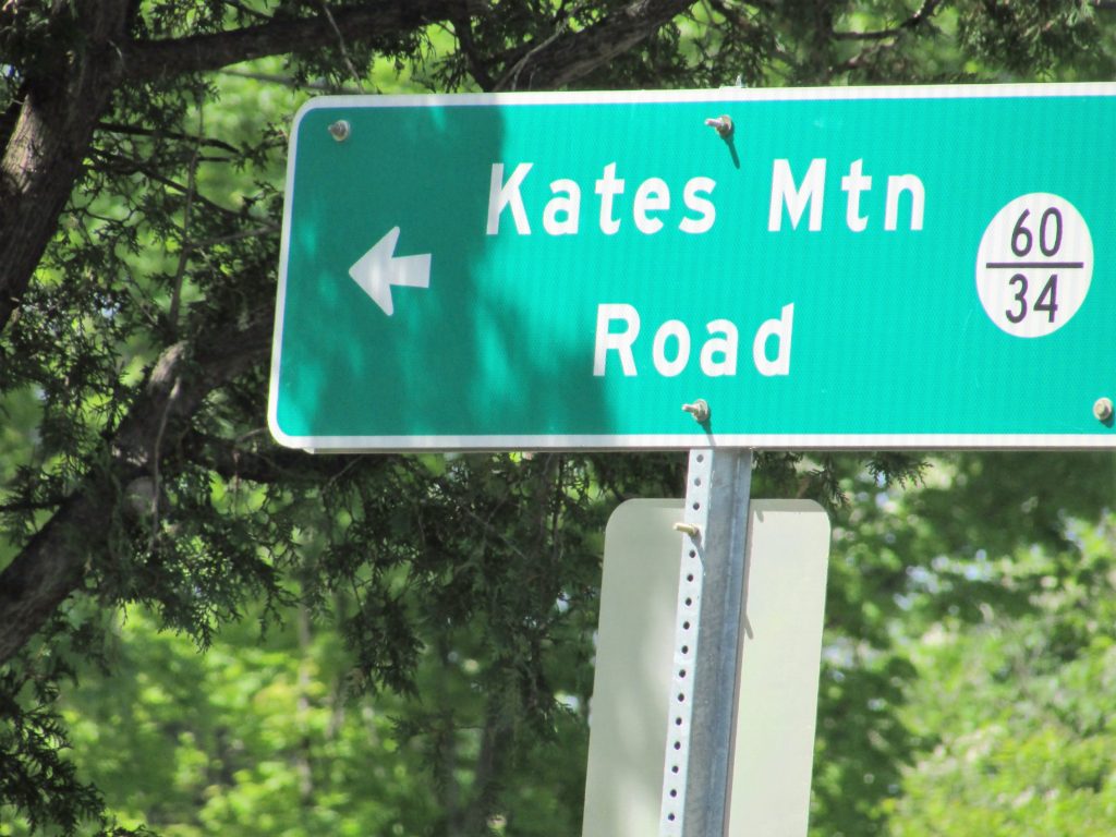
Property is located on Kate’s Mountain, in White Sulphur District, Greenbrier County, West Virginia. Access is by Kate’s Mountain Road, Route 60/34. Property gate on right. Approx. 1.5 miles to the gates of the resort.
Access and Boundaries
Access is by Kate’s Mountain Road and secondary roads. Property divided by partition and surveyed in 2008-2009, approved by court order.
Taxes and Zoning
Taxes are roughly $2,500 per year. Land is covered by a current County zoning ordinance with properties greater than 50 acres exempt per approval of county planning department. Prospective buyers should consult with Greenbrier County Planning Department for complete regulations.
State Information
West Virginia, White Sulphur district. Zip code 24986
37.765300, -80.314696
Directions
White Sulphur Springs, West Virginia, State Route 219, Kate’s Mountain Road. Roughly 1.5 miles to property, gate on the right.
Right of Way Deeds
Find below the existing right of way deeds (2) for the property.
DEEDS